
Cargando...
What can I do?
Find
Display
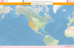
Do you know what is the name of each landform shown on the map? You have to choose the right answer from a list with several possible options.
Zoom in or zoom out the map in order to adjust it to the s ...
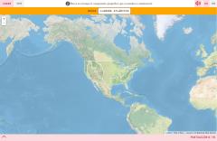
Would you know to locate on the map each landform you are being asked for? Try yourself with this interactive map of Didactalia.
Zoom in or zoom out the map in order to adjust it to the size of your de ...
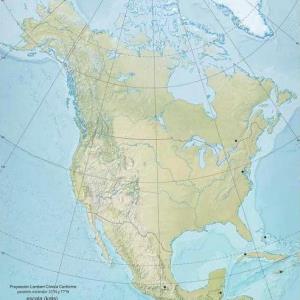
Un mapa físico mudo de América del Norte que muestra los principales ríos y cordilleras montañosas de América del Norte: Canadá, EEUU, México y diverso ...
Add to Didactalia Arrastra el botón a la barra de marcadores del navegador y comparte tus contenidos preferidos. Más info...


